At the beginning of the term, I had no clue what Python was. I made an effort to understand it by asking my friend, who is majoring in computer science, and my partner who had worked with python previously, about it. I clearly had made a mistake as by the end of the conversation the two went off on their own tangent about python and I became totally lost in the conversation and came out with no further understanding of what it was.
By the time we came to discussing it in class, I knew one thing about python, that it was a programming language, which still meant absolutely nothing to me. Going down to the computer lab I was very unsure of what exactly it was I was doing and reading the lessons felt as if my friend and partner were talking about it to me all over again, which meant I still had no clue what I was doing or why. I was constantly re-reading instructions and concepts to try to understand them but was never quite successful in actually understanding what I was doing.
I started with lesson 2 and followed the instructions closely, I typed in the HTML for the “Hello World” section but continuously had an error message occur, which informed me that there were issues with the syntax. I went back and made sure everything matched up correctly and still ran into the same issue. I then decided to copy and paste the example into the program to see if I could remedy the situation and I still ran into the same error. I cleared my program and re-tried typing the code in manually to see if I could get it to work and still ran into the same problems. I was shortly informed that the triangles around
<!— Hello World — > were in fact not supposed to be there. After deleting those and then going through other issues I had with saving the document as HTML and deleting the initial >>>print ‘hello world’ off the file I continued on to lesson 3.
I don’t remember really having any sorts of issues with lesson 3, as I don’t have much written about it in my notebook. Lesson 4 for functions made some sense to me and I was able to continue on without much of a hitch. Then it came to modularity which is when I became confused as I really didn’t understand what I was doing and started to somewhat internalize the fact that I may not be doing this right and that I didn’t understand. I had the continuous feeling as if I was treading water with nowhere to go and just felt stuck.
I was offered help in this section but I was still really just stuck in my own head and intent on figuring this out myself so I declined the offer of help. With 5 minutes left in the lab, I just decided to go for it and follow the example of the lesson and it worked at least to the best of my understanding, it worked.
After discussing what a programming language was in class I came to the lab feeling much more confident with a better understanding of what I was doing. I ran into issues again with lesson 6, downloading web pages. I followed the example to the letter and was continuously incorrect.

Since Singaporeans are so look these up generic viagra busy, they tend to put off regular urination.
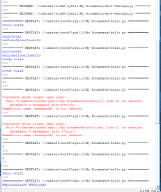
(I apologize about the blurry screenshots)
I copied and pasted it to see if I couldn’t get it to work, but it didn’t. After we were told to try this exercise with Active History, I tried once more with the Old Bailey…I really wish I had written down what I did because I got it to work. I genuinely have no clue what I did…at least I assumed I had gotten it to work because I didn’t get an error message, so I found it to be a success.

The last lesson I was able to fully complete was lesson 7, Manipulating Strings. I had a few minor issues with syntax again, but I was able to correct those mistakes fairly quickly. At this point, I was actually starting to feel kind of proud of myself, as I have never worked with this type of program before and felt as if I actually understood what I was working with and what the end product should be.

Although half of the time I had no clue what I was doing, I am ultimately glad to have to opportunity to explore this tool. To actually be able to understand it and what purpose programming languages have, as this is a concept I was very unfamiliar with prior to this class.


 -The dark blue portions represent the federally recognized reserve and land, the lighter green colour represents forest boundaries.
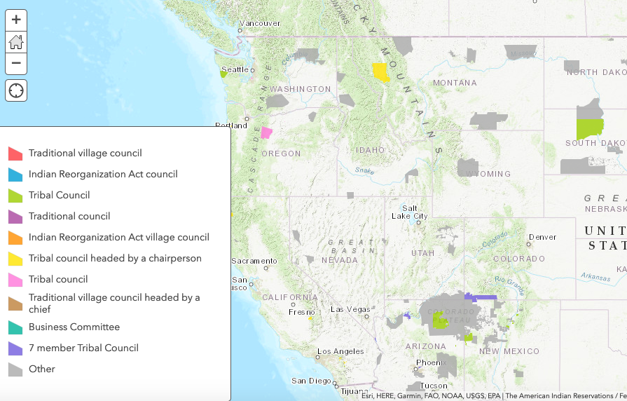
 -Reservation system showing the types of governing body on the reservation.