
This blog post is reviewing ESRI StoryMaps, the homepage for this digital tool is https://storymaps.arcgis.com/en/. StoryMaps is a tool made by ESRI that allows users to combine maps with images, text and other forms of media to tell a story. ESRI is the company behind the popular ArcGIS mapping software that can be both very useful and challenging to learn. StoryMaps presents itself as a tool that is versatile and easy to use. StoryMaps are often historically focused but there are also many examples of StoryMaps being used to showcase other kinds of projects. The main page of the StoryMaps website displays several projects that are examples of how StoryMaps can be used.
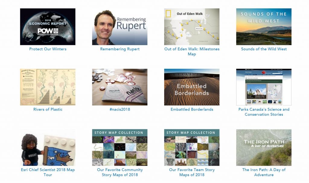
The main page allows users to view other projects to get an idea of what StoryMaps can be used for. One project that caught my eye was a map that displays information about the voyage of the Titanic.
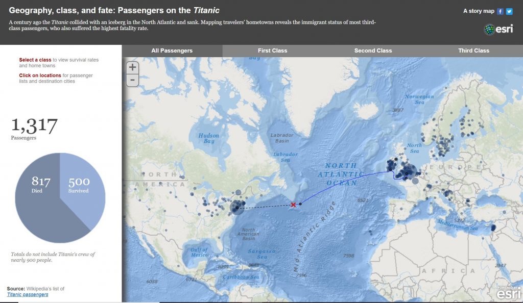
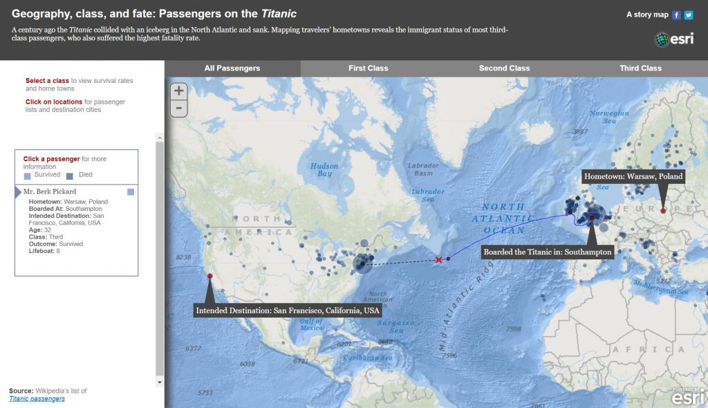
This map displays the route taken by the Titanic as well as information about where the passengers came from, what class ticket they had and if they survived the ships sinking. This allows users to see the relationship between the survival rates and the ticket class of the passengers. Other interesting information includes age of the passengers, hometown and intended destination. This StoryMap gets its data from Wikipedia’s list of titanic passengers and provides a link to the Wikipedia page.
Something else I found interesting was that Parks Canada uses StoryMaps to display science and conservation stories. This StoryMap displays a map in upper left corner with a description just below it. The right hand two thirds of the screen is used to display an image or a video.
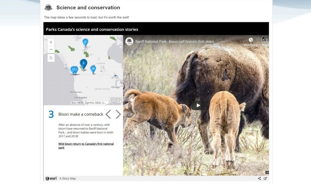
This map is slow to load but once it loads it runs quite smoothly. Each location on the StoryMap has a link to a Parks Canada webpage that gives more detail on the specific story. No broken links or other errors were obvious with this map which indicates that Parks Canada regularly maintains this digital project.
The Embattled Borderlands StoryMap focuses on the border between the United States and Mexico and the issues that arise from constructing barriers along the border. This StoryMap is formatted as one massive continuously scrolling page and while this may be a neat idea it causes frequent loading delays if you try to scroll through too quickly.
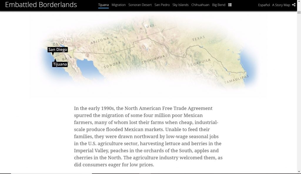
You can use the titles displayed at the top of the page to help navigate through the page but this still does not solve the slow loading issue. It might be better if instead of having everything on one massive page the different sections were given their own page. This would make navigation quicker and would appear more organized.
The Rivers of Plastic StoryMap is presented in a similar format as the Embattled Borderlands story map in the way that it is one continuous scrolling web page. This StoryMap does not try to display as much information as the Embattled Borderlands StoryMap so it loads quicker but it lacks the option to navigate by clicking the titles of sections so the only way to navigate is by scrolling. This is more a personal preference, but I do not like that scrolling is the only way to navigate this StoryMap.
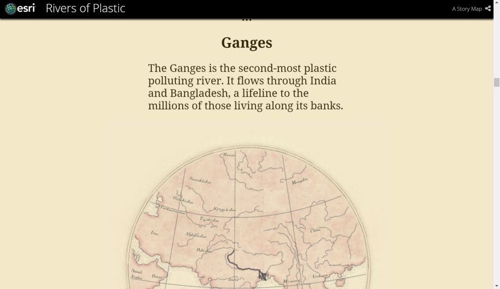
Navigation by scrolling seems to be a popular theme for StoryMaps. This format does a good job of presenting the story in a chronological order but if there is too much information to be loaded this can slow down the web page.
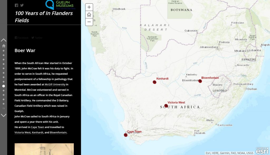
A StoryMap that I think is very well done is 100 Years of In Flanders Fields. This StoryMap is about the life of John McCrae and his famous First World War poem In Flanders Fields. This StoryMap incorporates images, maps, and text to tell McCrae’s story. Text and images appear on the left side of the screen which the user can scroll through and relevant maps are displayed on the right side of the screen. Although scrolling is the primary form of navigation there is also the option to navigate by clicking icons on the far left side of the screen. This StoryMap loads quicker than some of the other StoryMaps I have mentioned above and by not relying entirely on scrolling for navigation it is easier to navigate than StoryMaps that provide no alternative navigation options.
StoryMaps is an interesting tool that allows users to combine maps, text, and other forms of media to tell a story. StoryMaps are often used for historical websites such as the John McCrae or Titanic StoryMaps but as the Parks Canada StoryMap shows it can also be used for other purposes such as showcasing scientific and environmental research. One of the most popular formats for StoryMaps relies heavily on scrolling for navigating through the page. I don’t particularly like this format, but it might appeal more to others.